We parked on Galloway Crescent, by a little reserve at the back of Wakaaranga School, then walked down the road to one of the many pathways that join the walk. They are marked with these concrete stamps, which are also supposed to mark kilometres along the length of the walk itself, but seem to be placed somewhat irregularly.

We headed towards the Plaza first, although we didn't start right at the beginning of the walk. The pathway is largely concrete and wends its way pleasantly along the coast, with a few explanatory markers along the way. We walked up Wakaaranga Creek, which is covered in mangroves, spotting pukeko and grey herons along the way. A lot of the houses that back onto the creek pathway are rather flash, some with tennis courts and others with jetties that go out from the path.
 Once the creek meets the Tamaki River, you have a great view of Mt Wellington (my new nemesis now that Mt Eden is conquered) and the sandbar that forms part of the Tahuna Torea nature reserve. We walked past the Pakuranga Sailing Club and the reserve next to it.
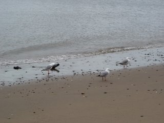
  The tide was a long way out, as you can see from the pics, and it took us over an hour to get to the Pakuranga Plaza end of the walk. We turned around and came back, stopping in a bay to eat our packed lunch, and generally watched the windsurfers on the water and the families on the pathway. There were a lot of bikers, and they are supposed to give way to pedestrians. Most do.
Once we had walked all the way back to our starting point we headed further up the pathway towards Ohui-a-rangi and Pigeon Mountain Reserve. Manukau City Council has a plan to overhaul the reserve and has already done significant work on a wetlands area complete with boardwalk and many pukeko. It is wonderful spot even though it isn't complete yet.

 We continued to follow the red markers through various fields on the ridge, some dotted with skittish ovines and one including the trig station.
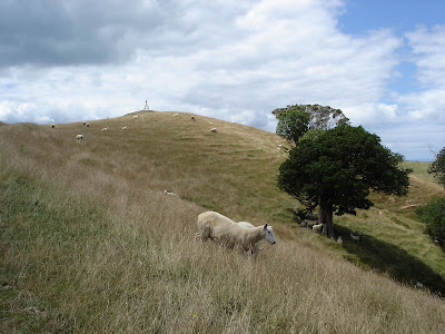 Eventually we came to a post that also had blue markers, which indicated the Whakakaiwhara Pa Walk. Sadly at this point we went the wrong way and ended up not heading towards the end of the peninsula, but at the start of a coastal walk.
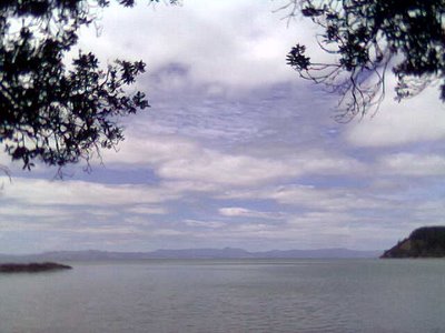
 There at the end of the peninsula, where once there were defensive trenches and kumara pits, was a lovely restful spot where you could gaze out at the Gulf, Waiheke Island, Ponui, Pakatoa and even Rangitoto in view.
 Then we went through the cow paddock

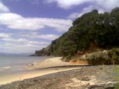
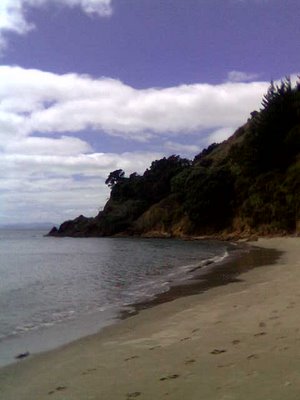 Above is the far end of Tauwhitokino Bay, complete with our footprints.
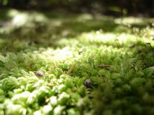
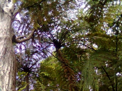 Walking through the bush under the ponga.
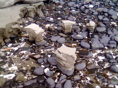 Stranded sand.
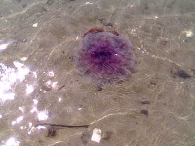